

Mississippi Alluvial Valley Potential Natural Vegetation Maps
These Potential Natural Vegetation Maps are based on hydrogeomorphic (HGM) models to assist in restoration planning and prioritization. The maps identify the appropriate plant communities to restore based on the various site conditions.

Bayou Meto HGM, Arkansas
Download the zip file of the Bayou Meto PNV GIS data (6.29 MB)
View or Download a PDF of the Bayou Meto Basin PNV Field Atlas

Boeuf-Tensas HGM, Arkansas
Download the zip file of the Boeuf-Tensas Arkansas PNV GIS data (35.1 MB)
View or Download a PDF of the Boeuf-Tensas (AR) HGM PNV Field Atlas
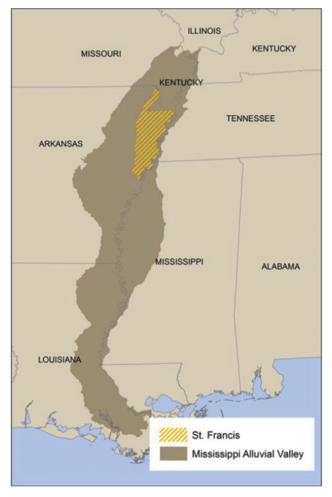
St. Francis HGM, Arkansas
Download the zip file of the St. Francis PNV GIS data (16.1 MB)
View or Download a PDF of the St. Francis Basin PNV Field Atlas

Western Lowlands HGM, Arkansas
Download the zip file of the Western Lowlands PNV GIS data (33.2 MB)
View or Download a PDF of the Western Lowlands Basin PNV Field Atlas

Ouachita-Tensas HGM, Louisiana
Download the zip file of the Ouachita Basin PNV GIS data (24.2 MB)
View or Download a PDF of the Ouachita and Tensas Basin PNV Field Atlas

Tensas HGM, Louisiana
Download the zip file of the Tensas Basin PNV GIS data (26.3 MB)
View or Download a PDF of the Ouachita and Tensas Basin PNV Field Atlas
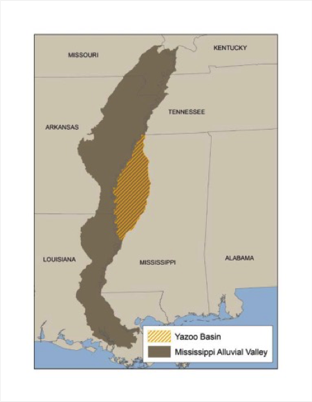
Yazoo Basin HGM, Mississippi
Download the zip file of the Yazoo Basin PNV GIS data (39.7 MB)
View or Download a PDF of the Yazoo Basin PNV Field Atlas